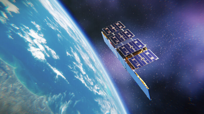
Since August 2022, its SAR (Synthetic Aperture Radar) services have been used by Ukraine to defend itself against Russian aggression.
Pole Rafal Modrzewski developed ICEYE’s technology with Pekka Laurila, a Finland’s Aalto University scientist. ICEYE can provide imaging regardless of weather conditions and time of day. It offers unprecedented precision satellite radar imaging, and the service is criminally priced.
After entering the market in 2015, the Polish-Finnish company is growing. In the fall of 2023, in cooperation with Elon Musk’s SpaceX, it launched 4 new satellites. It increases the possibility of collecting data and shows the growing demand and interest in ICEYE’s services. The startup produces small satellites weighing just over 100 kg, equipping them with radar to monitor the Earth. It provides data for clients in defense, maritime, agriculture, natural resources, emergency management, insurance, and finance. ICEYE microsatellites take images of the Earth’s surface using SAR radar. And they do so with unprecedented frequency and resolution (less than 1 meter), day and night. And they do it much more efficiently than traditional optical instruments. Not surprisingly, the company has raised more than $300 million from existing investors. It is also currently valued at a similar amount.
SAR
It all started in the spring of 2012 when the two future founders of ICEYE began working on a joint project at Aalto University. It aimed to monitor ice movements in northern shipping lanes using synthetic aperture radar (SAR). Three years later, ICEYE is founded. And it very quickly raises $2.8 million in funding for R&D work under the European Union’s Horizon 2020 program. 2017 ICEYE Poland is established, and work begins on building a Satellite Operations Center and R&D facilities in Warsaw.
At the beginning of the following year, an Indian PSLV-C40 rocket launched the ICEYE-X1 satellite equipped with SAR radar. It became the world’s first observation satellite with a less than 100 kg mass. It uses this imaging technology and provides radar images of the Earth through clouds and even in total darkness.
The ICEYE-X2 satellite is launched from the U.S. Air Force Base Vandenberg in California aboard a SpaceX Falcon 9 rocket into orbit shortly after that. It is the second ICEYE satellite successfully launched in one year, making history as the first Finnish-Polish satellite. Two more joined the ICEYE constellation managed by the Warsaw operations center in mid-2019.
The company can quickly provide customers with commercial access to the images taken by these devices. It also provides services to deliver information products based on Earth observation data. The images offered by ICEYE are more accurate than those from NASA and are delivered within 4 hours of ordering. And that comes with a comprehensive analysis of the acquired data. It is a significant convenience for business, not to mention the ability to predict natural disasters.
Read more about ICEYE here.
Also, read about the successes of Poles in the Hack-a-Sat competition organized by NASA here.


